John Ainslie – 1785
| < Jacques-Nicolas Bellin 1757 | Δ Maps | Origins of the Ordnance Survey – 1791 > |
John Ainslie (22 April 1745 – 29 February 1828) was a Scottish surveyor and cartographer.
He began his career as an apprentice to the “Geographer to King George III”, engraver and publisher Thomas Jefferys and worked as a surveyor and engraver for the English County series of maps. After Jefferys’ death he returned to Scotland where he surveyed Scottish counties, engraving and publishing the maps. His primary focus was on the coasts and islands of Scotland. The quality of his maps challenged others to improve their mapping style making maps more clear and easy to read.
With William Roy‘s maps locked up securely, Ainslie worked on a new nine sheet map of Scotland from 1787 to 1789 publishing it in 1789. The map was a landmark in the improvement of the outline of Scotland and for the first time showed the Great Glen as a straight line and Skye, Mull, and Islay shown with more accuracy than had previously been seen.
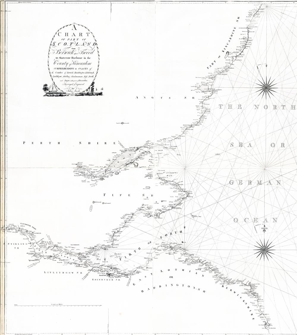
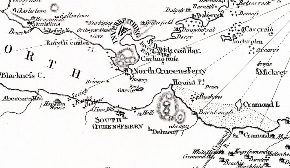
Here is “A general chart of the coast of Scotland from Berwick upon Tweed to Duncansbyhead in Caithness” 1785
There are copies of many of John Ainslie’s maps on the National Library of Scotland website.
| < Jacques-Nicolas Bellin 1757 | Δ Maps | Origins of the Ordnance Survey – 1791 > |