Origins of the Ordnance Survey – 1791
| < John Ainslie – 1785 | Δ Maps | The first published O.S. Map 1801 > |
While William Roy‘s maps of Scotland had helped suppress a Jacobite Rebellion, it was feared that the French Revolution which rumbled on from 1787 to 1799, might cause bloodshed to sweep across the channel. This led the government to begin a survey of England’s vulnerable southern coasts, with sufficient detail and accuracy to plan military campaigns and troop movements. This task fell to the Board of Ordnance, who turned to William Roy to tackle the project.
To do this he needed a sophisticated theodolite created by Jesse Ramsden, the leading instrument maker of the day – the Great Theodolite, three years in the making, measuring three feet across.
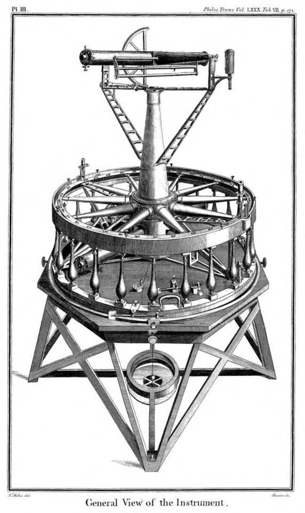 Ramsden’s Great Theodolite of 1787
Roy then established a baseline on the flattest suitable ground on Hounslow Heath (a line that now crosses Heathrow airport) and from there the surveyors used theodolites and trigonometry to create an accurate network of triangles based on prominent landmarks. The date was 21 June 1791 – officially recognised as the birth of Ordnance Survey.
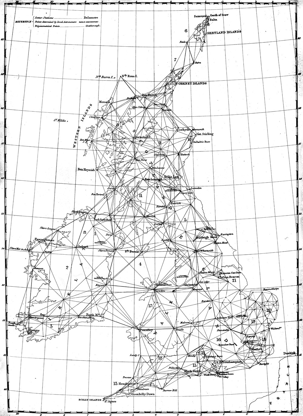 The principal triangulation of Britain – 1860
These triangles formed the mapping framework, then the details were added by hand. The early maps featured elaborate hill shading and attention to communication routes, highlighting the emphasis given to military use.
The Ordnance Survey website traces the full history from 1745 to the present day.
| < John Ainslie – 1785 | Δ Maps | The first published O.S. Map 1801 > |