Robert Gordon 1640
| < Timothy Pont’s portrayal of towns | Δ Maps | James Gordon 1642 > |
Robert Gordon of Straloch (1580-1661) wrote several topographical descriptions for Blaeu’s atlas, and also provided some corrections and completions to Timothy Pont’s manuscripts.
Gordon’s map-making took place quite late in his life, when he would hardly have expected to emulate Pont by setting off to survey Scotland on the ground. In any event, he had access to much of Pont’s rougher work, if not to all of Pont’s more polished manuscripts which Blaeu had already engraved.
As well as contributing to Blaeu’s work, there are 65 extant manuscripts of his own work, but what motivated him and what were his intentions are simply not known.
These are important because they cover some parts of Scotland where there is no extant coverage in the original manuscripts of Pont, and also because they provide evidence of an episode in the history of Scottish cartography about which we know very little..
Here is one of his maps of Fife
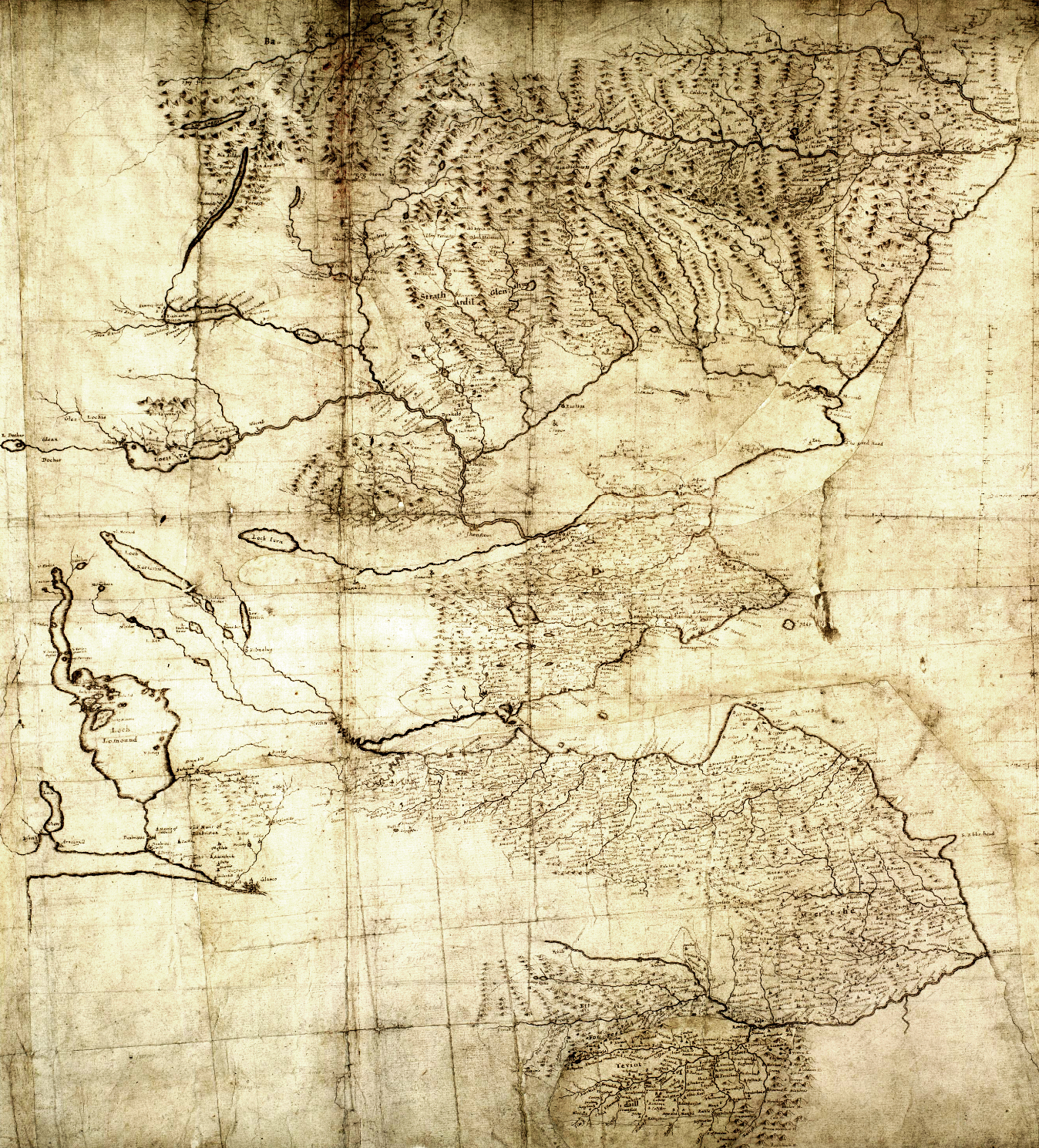
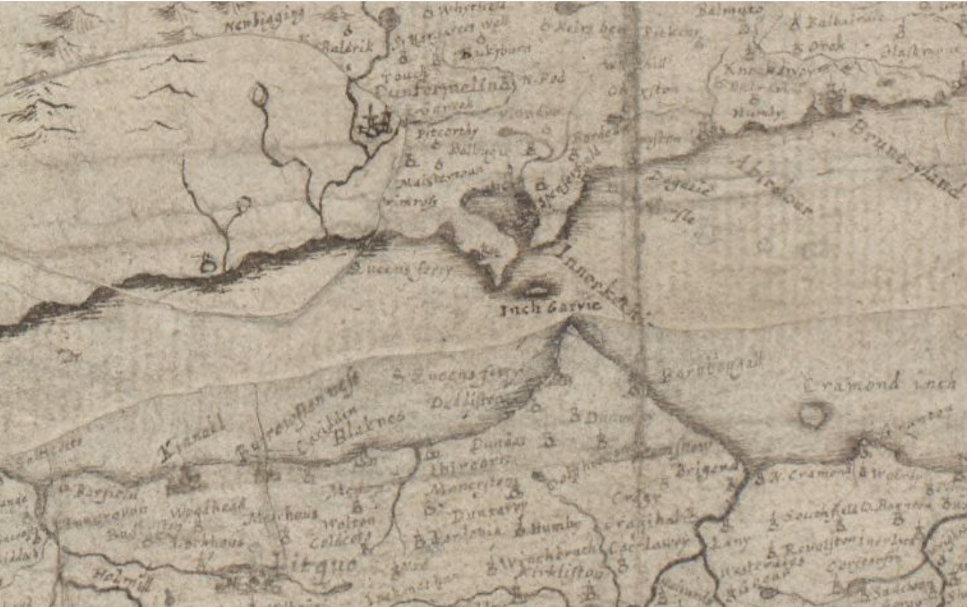
With an extract which shows North and South Queensferry.
The National Library of Scotland website has many more of Robert Gordon’s maps.
| < Timothy Pont’s portrayal of towns | Δ Maps | James Gordon 1642 > |