Blaeu Atlas of Scotland, 1654
| < James Gordon 1642 | Δ Maps | Greenvile Collins – 1693 > |
Joan Blaeu drew on the manuscripts of Timothy Pont and James Gordon to create Volume V of his Atlas novus published in Amsterdam in 1654.
His “Fifae Vicecomitatus, The Sherifdome of Fyfe.” was clearly based on James Gordon’s
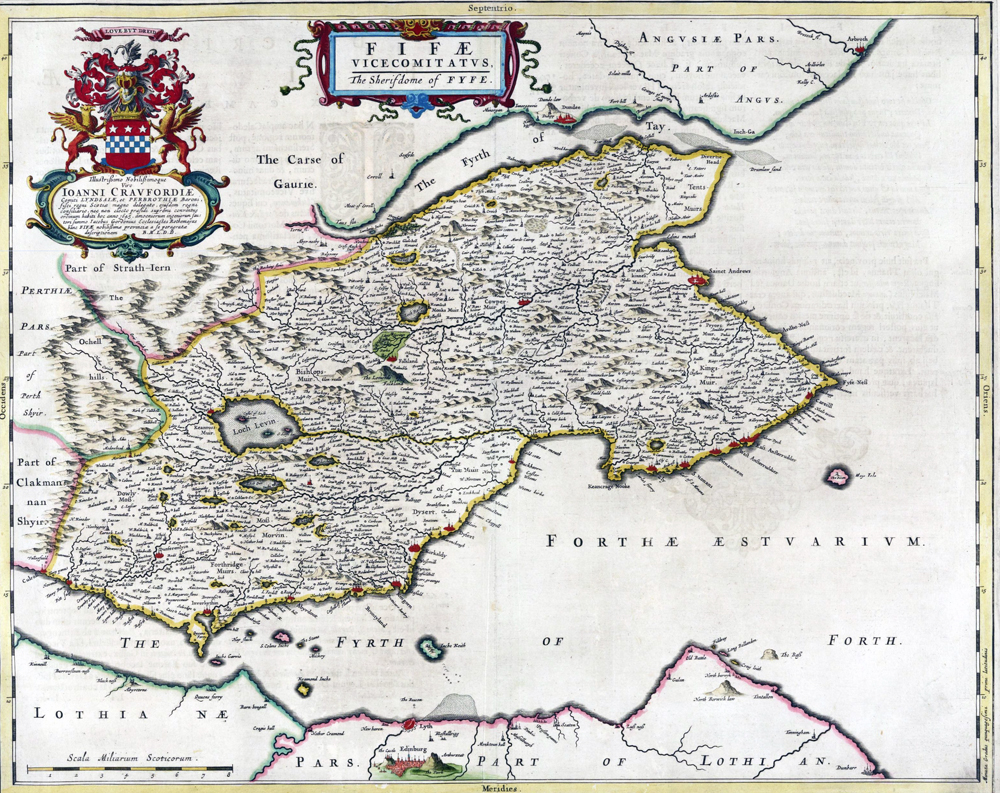
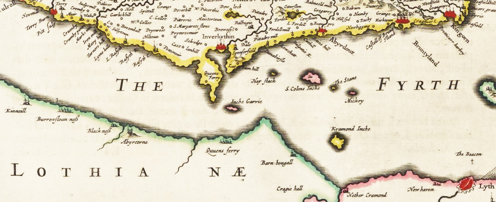
“The excellent peninsula of Fife, like a wedge between two estuaries, Forth and Tay, advances father to the east. The land generously produces crops and pastures and fossil coal, the sea besides other fish provides abundantly oysters and shell-fish, and the shores are planted with small towns, which abound in sturdy sailors. On the south side of it, on the Forth where it first turns west, appears Culross, a new barony of J. Colville; after that rises up the once famous monastery of Dunfermline, the work and tomb of King Malcolm III; now it provides the name and honour of Earl to the most prudent Alexander Seton, whom James King of the Britains long since deservedly raised from Baron of Fyvie to Earl of Dunfermline and Chancellor of the Kingdom of Scotland; his son is now Earl. After that Kinghorn sits on the estuary, from which by the grace of King James VI Patrick Lyon, Baron Glamis, recently took the title and honour of Earl. Afterwards Dysart is on the shore on a steep site; from there a heather-moor of the same name extends, where quite a large area, which they call the Coal-bed, abounds in earthy bitumen and burns in places, not without loss to the inhabitants. Next to it is Ravenshaugh, that is, steep hill of the ravens, the dwelling of the Barons of St Clair or Sinclair. Above that the River Leven enters the Forth; pouring out of Loch Leven (in which is a castle of the Douglases, now Earls of Morton), it has at its mouth Wemyss Castle, the seat of the noble family of the same surname, which James VI recently enlarged with the dignity of Baron. From here the shore continues in a twisted line to Fife Ness, that is the promontory or nose of Fife. Above it the archiepiscopal city of St Andrews looks out at the open ocean; the older name of the place was Regimund, that is, Mountain of St Regulus, as old papers show, in which is written, ‘Oengus or Ungus, King of the Picts, gave it to God and St Andrew, to be the head and mother of all churches in the kingdom of the Picts.’
The National Library of Scotland website has on-line copes of Blaeu’s Atlases of Scotland and the World.
| < James Gordon 1642 | Δ Maps | Greenvile Collins – 1693 > |