Greenvile Collins – 1693
| < Blaeu Atlas of Scotland, 1654 | Δ Maps | John Adair – 1703 > |
Greenvile Collins (also spelt Greenvill or Greenville; c. 1643 – c. 25 March 1694) was an officer of the Royal Navy and prominent hydrographer, who compiled Great Britain’s Coasting Pilot, the first survey of the country’s coast undertaken by a Briton.
In 1680 Collins began to lobby in 1680 for support to undertake an improved survey of the country’s coasts. Prior to this time nautical charts were often defective, and there was no centralised system for collecting and disseminating the better maps made by experienced seamen. In the Spring of 1681, Collins gained the King’s preferment to survey the country’s coasts. He was supplied with the 8-gun yacht HMS Merlin for the first two years and then the yacht HMS Monmouth until 1686.
Collins eventually spent seven years on the survey. In 1693, he finally published his results in a folio volume of two parts, Great Britain’s Coasting Pilot, containing sailing directions, tide tables, coastal views and about forty-nine charts.
Here is his Edinburgh Firth from 1693
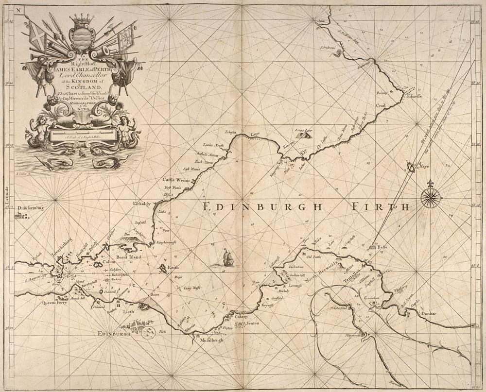
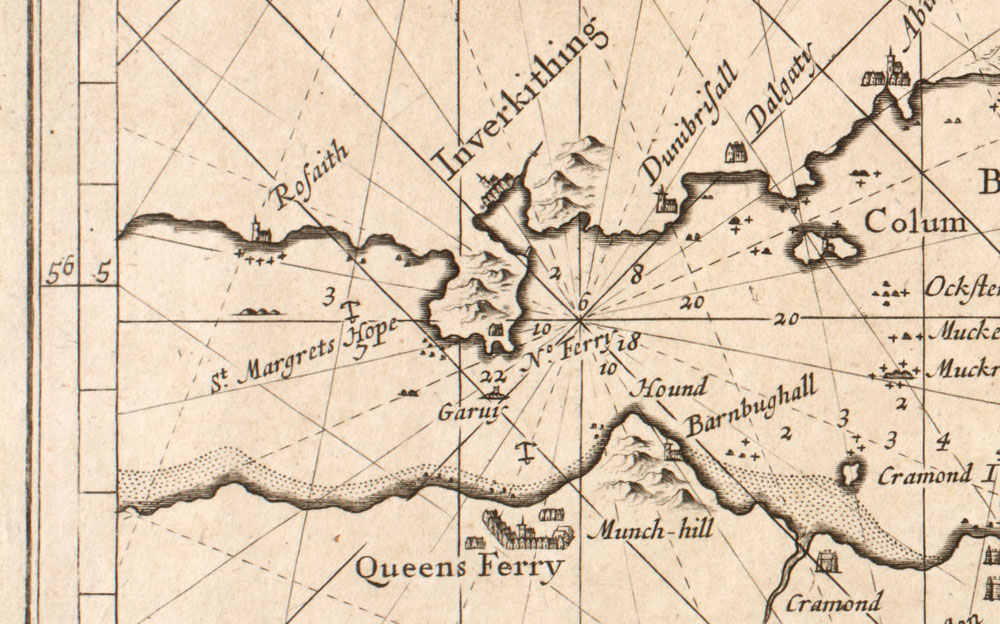
The National Library of Scotland website has many more maps and charts by Greenvile Collins.
| < Blaeu Atlas of Scotland, 1654 | Δ Maps | John Adair – 1703 > |