Mercator’s Scotia Regnum – 1595
| < Laurence Nowell – 1560 | Δ Maps | Timothy Pont c 1590 > |
Gerhard Mercator published his famous map of Scotland in the Spring of 1595. Although its author had passed away four months earlier, due to Mercator’s stature and influence, the map had a long legacy, forming the standard outline of the country for the next half century.
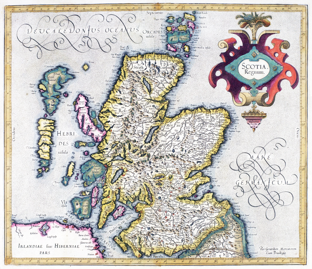
Mercator’s main outlines were taken from the most accurate coastal surveys of Alexander Lyndesay, published by Nicolas de Nicolay in 1583, whilst interior content was drawn particularly from the maps of Laurence Nowell, Dean of Lichfield, and the Scottish Highlander and spy, John Elder.
Mercator may be chiefly remembered today as a mapmaker, but he was also an accomplished engraver and calligrapher, a maker of globes and scientific instruments, as well as a mathematician and geographer. His Atlas of 1595 with its 102 terrestrial maps was part of a much broader study of cosmography, looking at the history and disposition of the universe and man’s place within it.
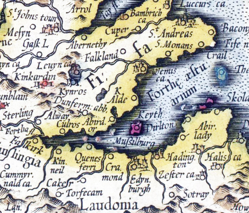
This extract of the Firth of Forth clearly shows Queensferry.
You can explore this map in detail on the National Library of Scotland website.
| < Laurence Nowell – 1560 | Δ Maps | Timothy Pont c 1590 > |