St Margaret’s Marsh
< back to Military History of North Queensferry
Named St Margaret’s Bay, because it was said to be the place where St Margaret, future wife of King Malcolm of Canmore (1058-93) landed with her brother Edgar Atheling and her sister Catherine in 1069 on her journey to Dunfermline from Orkney.
For centuries it was a safe have for shipping. In the 1880’a the civil engineer Sir Ernest William Moir was involved in the construction of the Forth Bridge. He recalled that in St. Margaret’s Bay he could see as many as 400 small trading vessels waiting for a chance to slip out from the Forth into the North Sea.
Much of the land was gradually reclaimed by the creation of Rosyth Dockyard, with part of the reclaimed land now forming St Margaret’s Marsh.
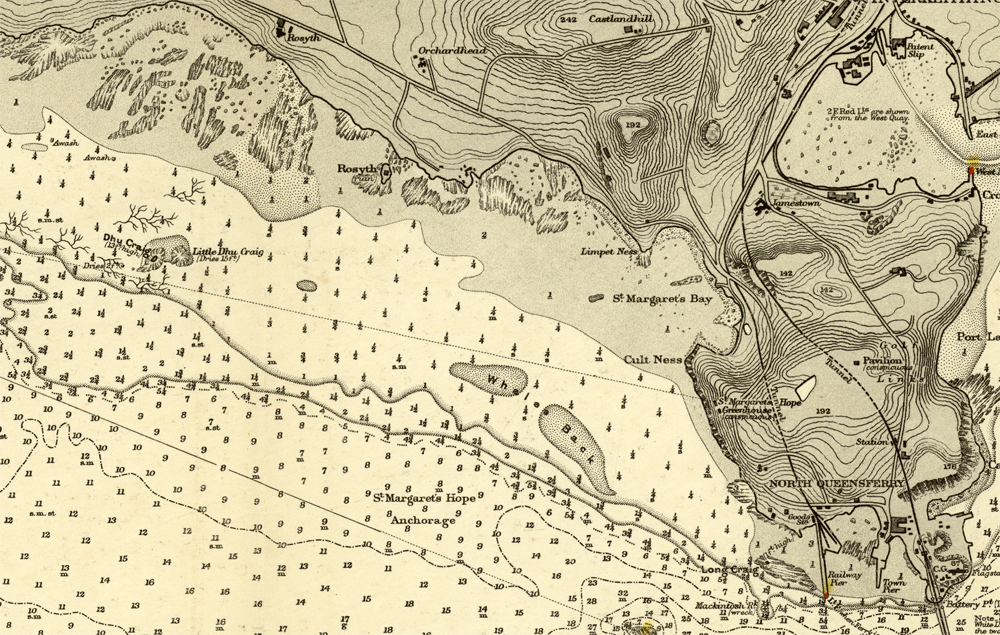
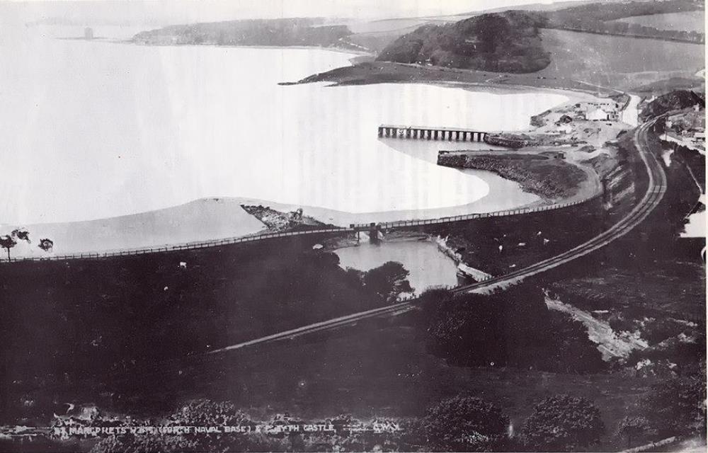
These maps show how the area has evolved over the 20th century.

 St Margaret’s Bay in 1903 prior to Rosyth Dockyard construction
 St Margaret’s Bay in 1922 after Rosyth Dockyard construction
The seawall round the reclaimed land was built in 1943. Between 1945 and 1965 Dunfermline Burgh used the site of St Margaret’s Marsh as a landfill tip. The site was largely open water lagoons with fringing reedbeds and was inhabited by lots of wildfowl. After tipping ceased, the reedbeds encroached on the open water which gradually disappeared, along with the waterfowl. Today the reedbeds have continued to expand, there is no open water, and the area of saltmarsh has decreased.
The area was declared a Site of Special Scientific Interest (SSSI) by Scottish Natural Heritage in 1996, as it is the largest reedbed on the Firth of Forth.