Herman Moll – 1745
| < John Adair – 1703 | Δ Maps | William Roy – 1747 > |
Herman Moll (mid-17th century – 22 September 1732) was a British cartographer, engraver, and publisher. He was probably born in the mid-17th century in Germany. Moll probably sold his first maps from a stall in various places in London. From 1688 he had his own shop in Wanley’s Court in London’s Blackfriars. Between 1691 and 1710 his business was located at the corner of Spring Gardens and Charing Cross, and he finally moved along the River Thames to the Strand where he remained until his death in 1732.
In the 1690s, Moll worked mainly as an engraver for Christopher Browne, Robert Morden and Lea, in whose business he was also involved. In the first years of the eighteenth century, Moll began to compile and engrave maps solely under his own name.
In the years that followed he brought out several volumes including Fifty-six new and accurate maps of Great Britain, a book of maps of the British Isles. d.
The Shires of Fife and Kinros / by H. Moll was published in 1745 by Bowles and Bowles, publishers and map sellers in London from c. 1714 to c. 1832.
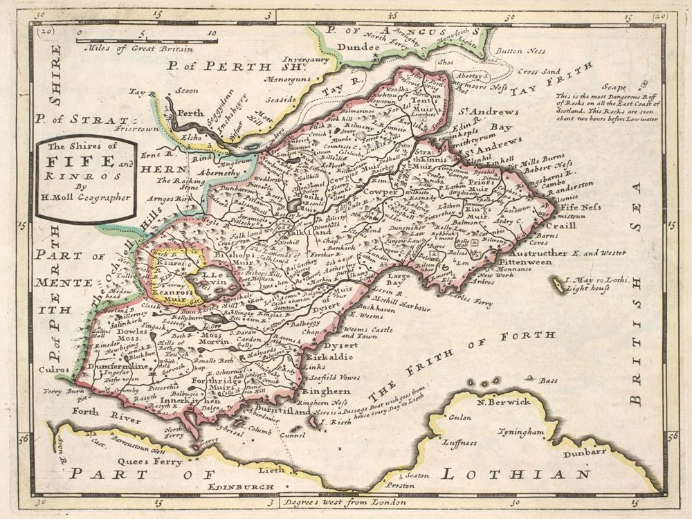
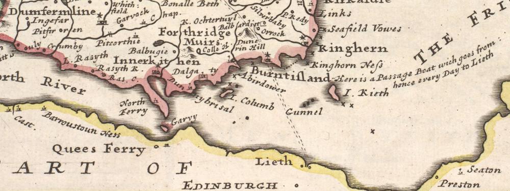
You can explore more of Herman Moll’s maps on the National Library of Scotland website.
NQHT holds a printed copy of the Moll Atlas. This can be consulted by appointment in the Research Library on the Meeting Room at the station in North Queensferry. Appointments can be arranged by email to info@nqht.org
| < John Adair – 1703 | Δ Maps | William Roy – 1747 > |