James Gordon 1642
| < Robert Gordon 1640 | Δ Maps | Blaeu Atlas of Scotland, 1654 > |
James Gordon of Rothiemay has an important part to play in the story of Pont’s manuscript maps. First, he assisted his father, Robert Gordon of Straloch, when he undertook work on Pont’s maps for Joan Blaeu, who was basing the Scottish volume of his Atlas novus on the work of Pont and needed certain maps clarified or elaborated before they could be engraved. Second, following the death of his father in 1661, James Gordon preserved all of Pont’s surviving maps (along with his own and his father’s maps and topographical works) and passed them on to Sir Robert Sibbald in the 1680s, thereby ensuring their survival today.
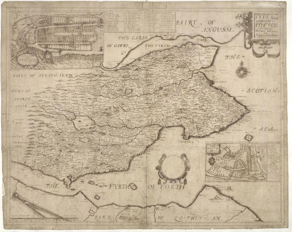
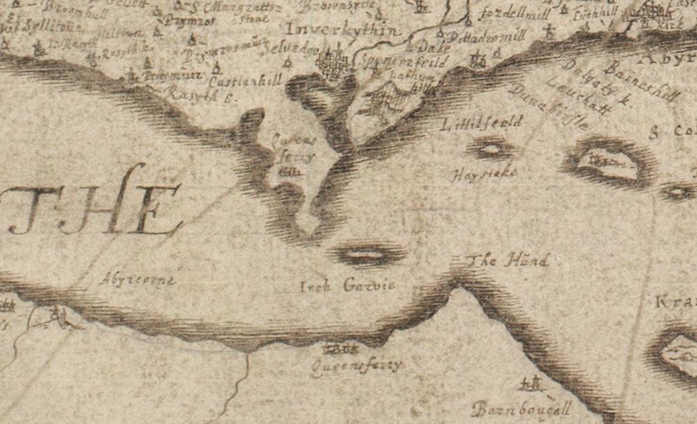
His cartographic activities, for which he is probably most famous, began with his detailed survey and map of Fife in 1642 at the request of Sir John Scot of Scotstarvit. Although this had not been specifically requested by Blaeu, it surpassed Pont’s original maps which had already been engraved, and therefore Blaeu added it to his atlas, the only map specifically credited to James Gordon
The National Library of Scotland website has many more of James Gordon’s maps.
| < Robert Gordon 1640 | Δ Maps | Blaeu Atlas of Scotland, 1654 > |