Laurence Nowell – 1560
| < John Hardyng – 1457 | Δ Maps | Mercator’s Scotia Regnum – 1595 > |
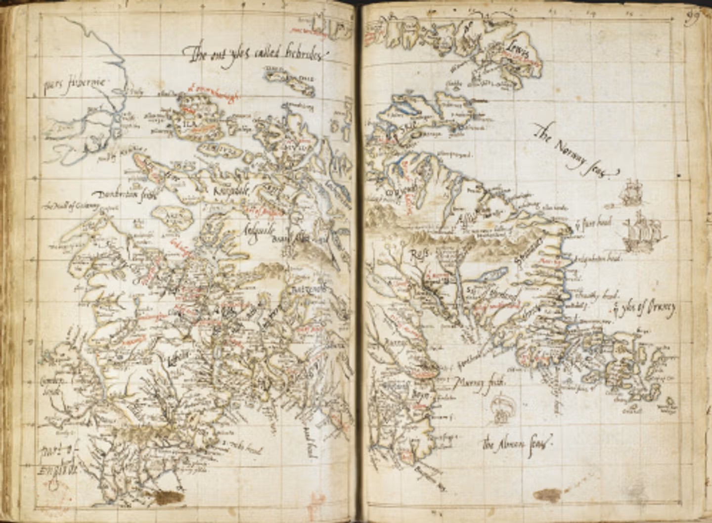
In the mid-1560s, just over a century after John Hardyng compiled his map, the antiquary Laurence Nowell was producing new maps of Scotland. Like Hardyng, Nowell put west at the top in this small map, but he included far more detailed information, making this the most accurate map of Scotland at that time.
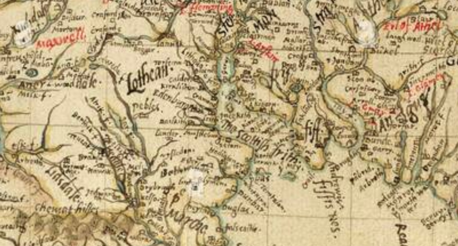
Q ferry is shown south (left) of the Forth, with Garvie in midstream.
| < John Hardyng – 1457 | Δ Maps | Mercator’s Scotia Regnum – 1595 > |