Forth Anti-invasion defences – Largo Bay
| < Fife Ness | Δ Index | Methil-Balgonie line > |
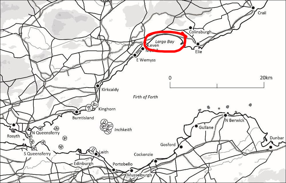
 Largo Bay location map
Largo Bay had been identified as a beach vulnerable to a hostile landing as early as the defence scheme of 1905.
The beach to the east of the village of Largo, about mid-way along Largo Bay, is fronted by a rocky shelf, and was perhaps seen as less practicable for landing.
The sandier beach to the west, between Largo and Leven, was covered by a line of six discrete firing trenches on the seaward side of Scoonie Links; three between 240m and 270m long were laid out between NO 4057 0232 and NO 3977 0191.
Another three, between 100m and 170m long, occupied the ground between NO 3956 0175 and NO 3914 0139. At NO 3988 0196 a further 100m-long trench had been dug in advance of one of the eastern group of trenches.
There were two machine-gun positions in advance of the firing trenches, at NO 4032 0221 and NO 3929 0151 (marked as for two machine guns). The firing trenches are each shown as having one or more zig-zag approach trenches from the rear.
| < Fife Ness | Δ Index | Methil-Balgonie line > |