1931 – Course layout
| < 1929 – formation of Ferryhills Golf Club | Δ Index | 1931 to 1934 – further improvements > |
Although we cannot find any plans of the course after 1921, there is an excellent set of aerial photographs from 1931 on Canmore.org.uk
These show the golf course on the Ferry Hills area, as well as Cruicks Quarry and Wards ship-breaking business.
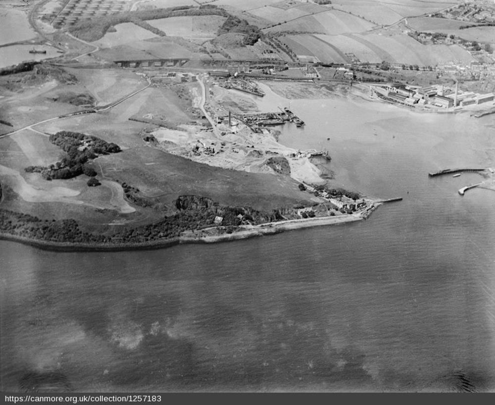
canmore image SC01257183.jpg
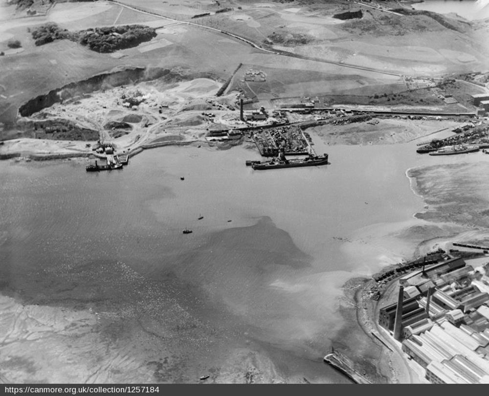
canmore image SC01257184.jpg
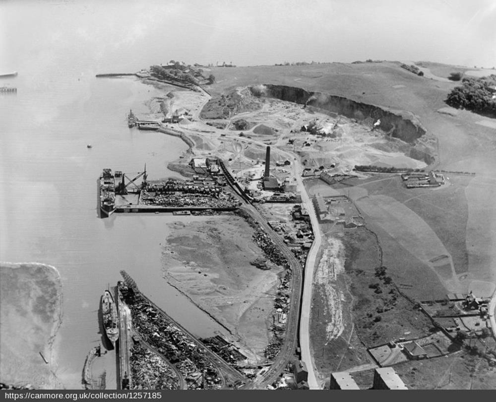
canmore image SC01257185.jpg
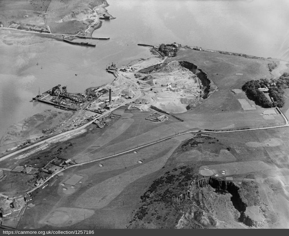
canmore image SC01257186.jpg
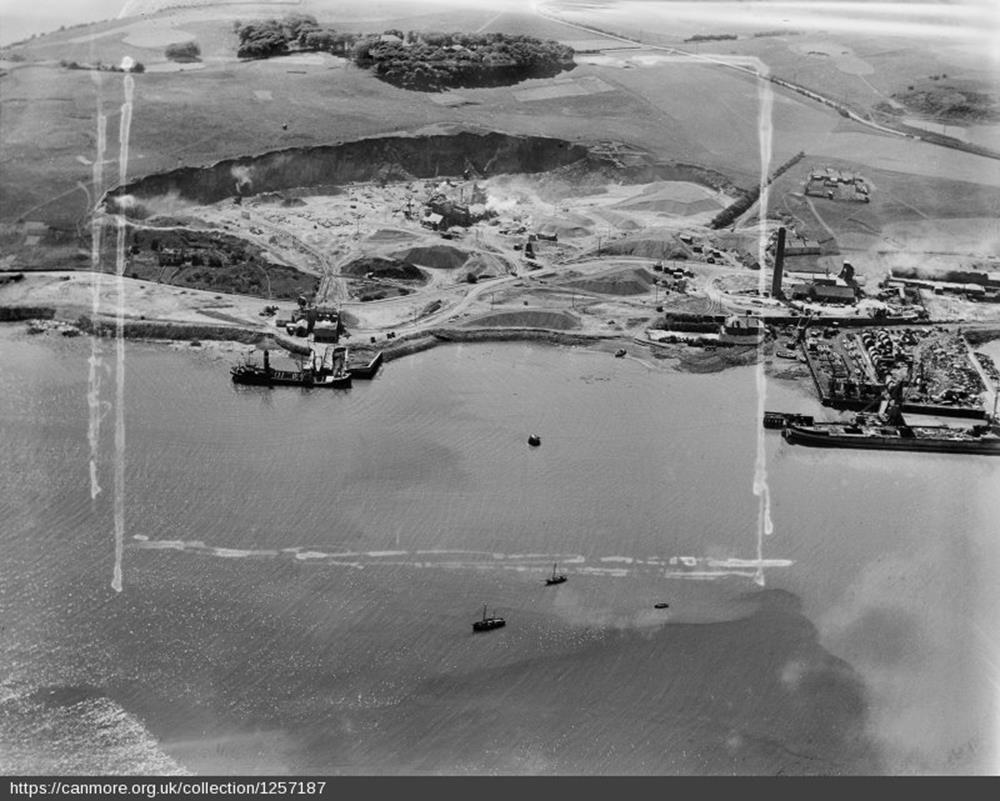
canmore image SC01257187.jpg
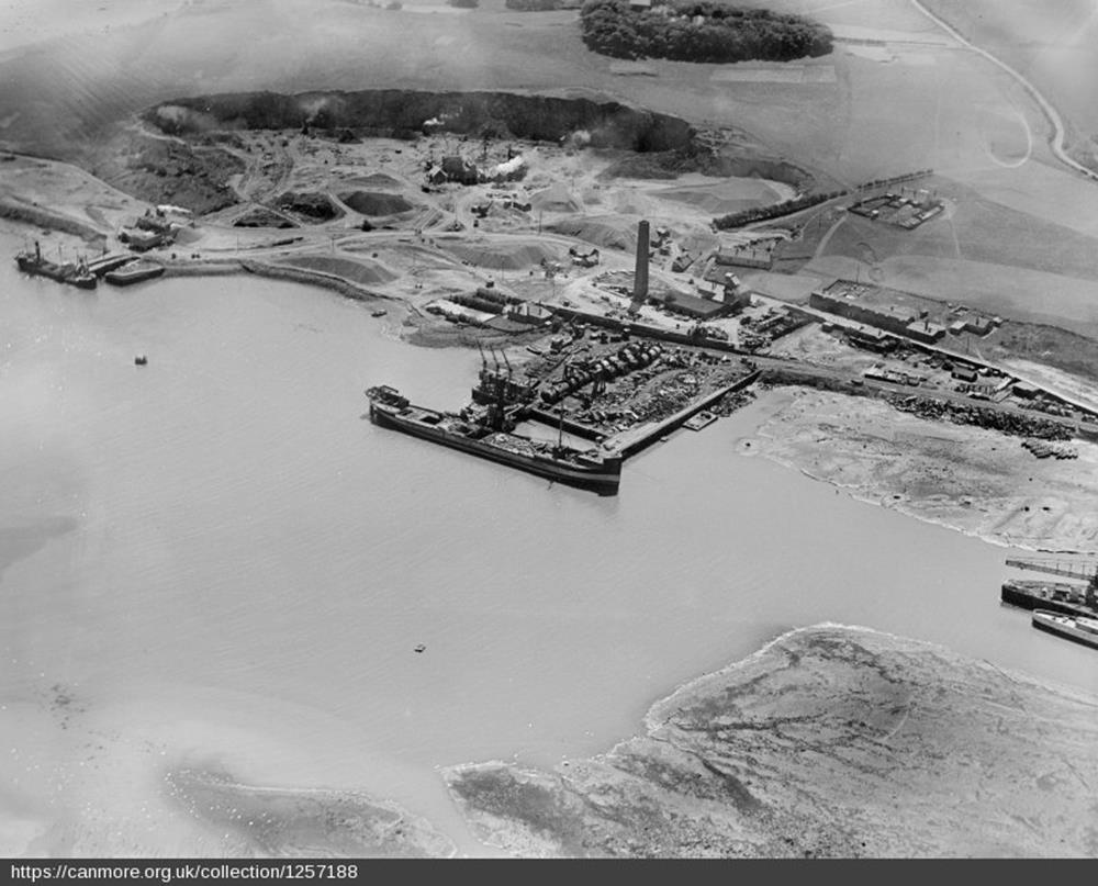
canmore image SC01257188.jpg
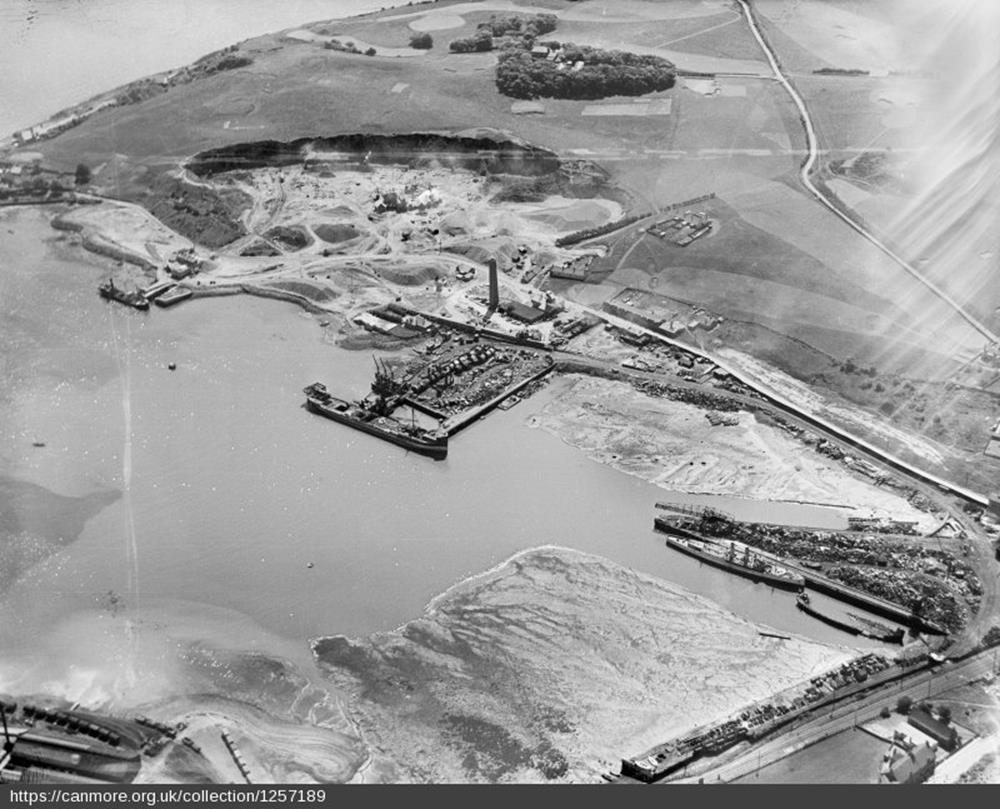
canmore image SC01257189.jpg
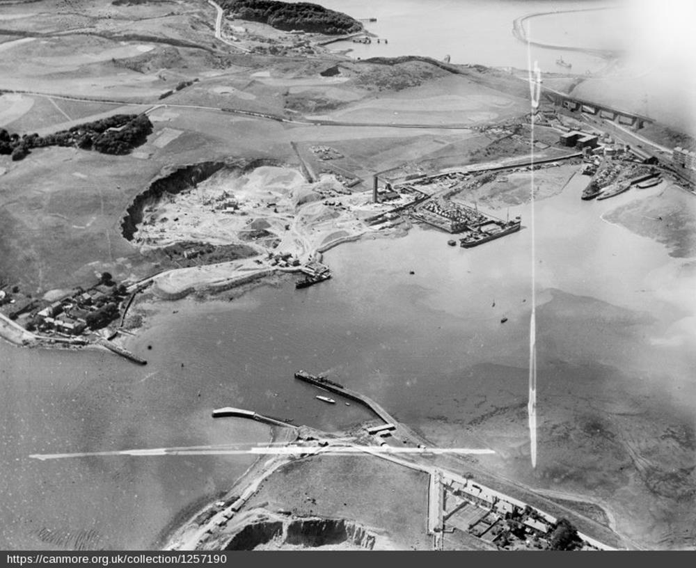
canmore image SC01257190.jpg
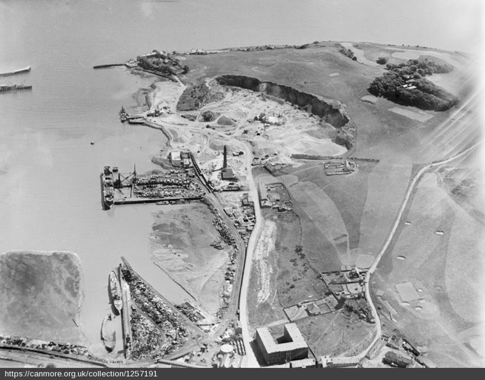
canmore image SC01257191.jpg
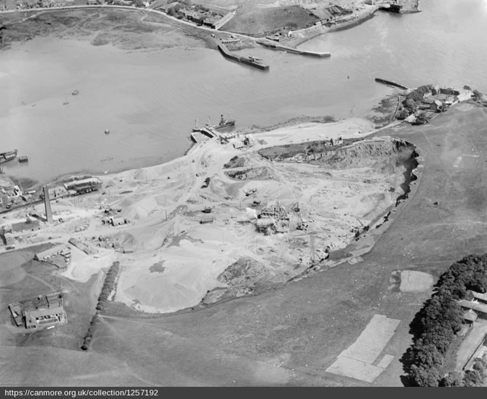
canmore image SC01257192.jpg
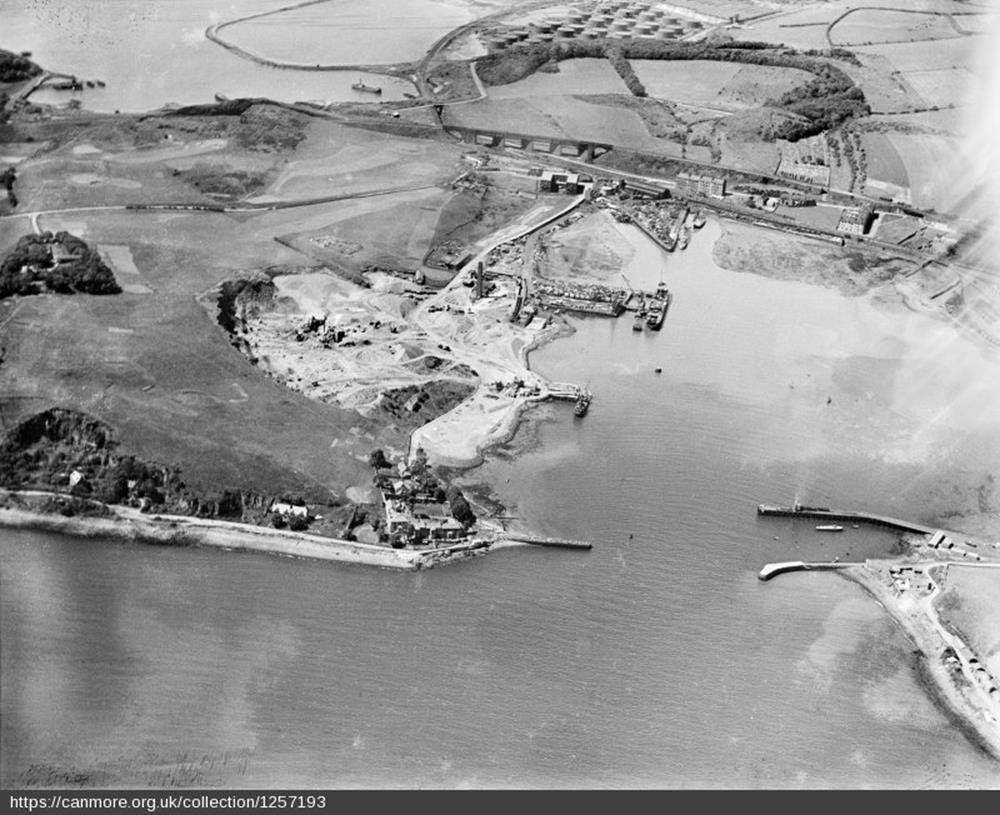
canmore image SC01257193.jpg
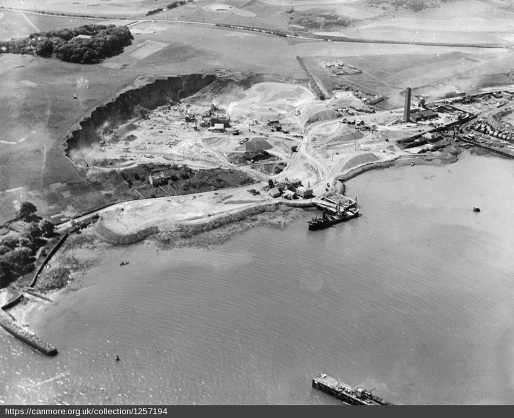
canmore image SC01257194.jpg
By combining the information from these images, we have created the following map of the area in 1931.

The course has clearly withdrawn from the north east area at risk from the quarry workings, and has expanded over the parcels of land leased from Messrs Hutton and Lord Elgin including an small additional parcel to the west at Gallowbank.
Some of the holes and bunkers can be clearly identified.
The area between Cruicks Farmhouse and the quarry – most clearly seen in canmore image SC01257192.jpg above – shows sheep grazing on the land.
The grazing rights had been a useful source of income to the club since the first lease in 1890.
I suspect that the square edged area is where turf has been harvested for use elsewhere on the course.
The Ferryhills Golf Club continued to thrive and made further improvements to the course in 1931 to 1934.
| < 1929 – formation of Ferryhills Golf Club | Δ Index | 1931 to 1934 – further improvements > |